GR20 – Day 5 – Refuge Di Verde to Bergeries d’ECampanelle
“Which route do you want to take?” Dave asked looking at the maps of the next stage. “One is an easy four hour walk through the valley. The second option is an alpine alternate. Should be more scenic but there is not much information about it in our guide book and I don’t have a gps track for it either.”
“The alternate, of course,” I said. A Belgian lady that we met at dinner time said it was a ridge run with very little scrambling. How difficult could it be to run a ridge?

First views of the day
We could not find distance or estimated time and so we set alarm for five to give ourselves enough time for the hike. When the alarm rang, we promptly reset it and slept additional half an hour.
Our morning walk followed a very rough dirt road before the trail finally slipped into the forest which was quite delightful. We walked under a canopy of deciduous trees and rock hopped over several bubbling streams. According to our map there were two bergeries (shepfolds) along the way. We arrived at the first one at 8:00 a.m. just to find it abandoned, or maybe it just was not yet opened for the season. There went our hopes for coffee with a splash of fresh milk.
We were able to pick up the trail quickly again and followed it as it led us through a forest into an open slope where we got some of the first views. Even at this lower elevation the views were quite promising.

Making our way to the ridgeline
We lost the trail just when the second bergerie, also abandoned, came to a view. We were now in a meadow criss crossed by the most beautiful streams, and some boggy areas, and we knew we were supposed to be quite higher but there was no path or cairns to guide us so we headed up the hill cross country until we eventually found the path again. It was marked quite well by cairns all the way to the ridge line from that point on.
The ridge line itself was lined by more cairns. Sometimes we were on a path. Sometimes the path disappeared in vegetation. It was a steady uphill on but on a very friendly grade and with more and more views competing for our attention.

Walking the ridge
We met few people here. The first group came from the opposite direction. Three French man from Paris that wanted to know if they were on the correct path to Refuge Di Verde. In exchange they told us Monte Renosu, the high point of the ridge, was absolutely spectacular.
Next we came across a man who was visibly shaken and in broken English warned us the next section of the trail was very, very dangerous.
We came upon a rocky outcrop and just at this point the ridge got narrow and the only way to proceed was through and over this outcrop. We proceeded carefully. There were couple trickier sections but never we came across one where our lives were in a grave danger. Perhaps the young gentleman confused the words and instead of dangerous wanted to say difficult, or perhaps he stepped of the route in which case I can imagine he scrambled over much more difficult terrain.
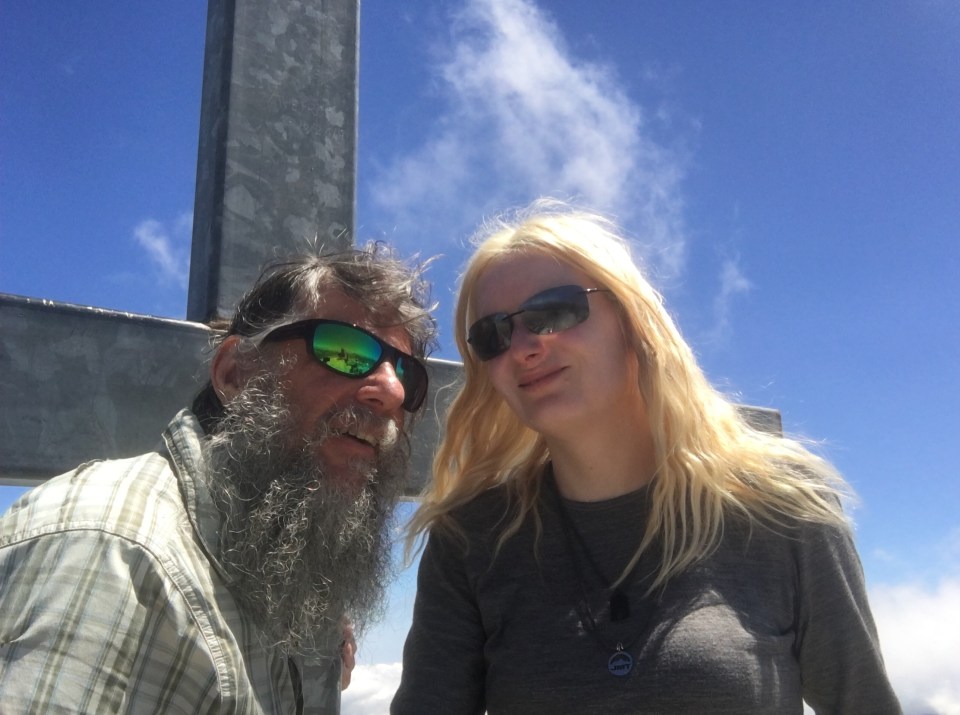
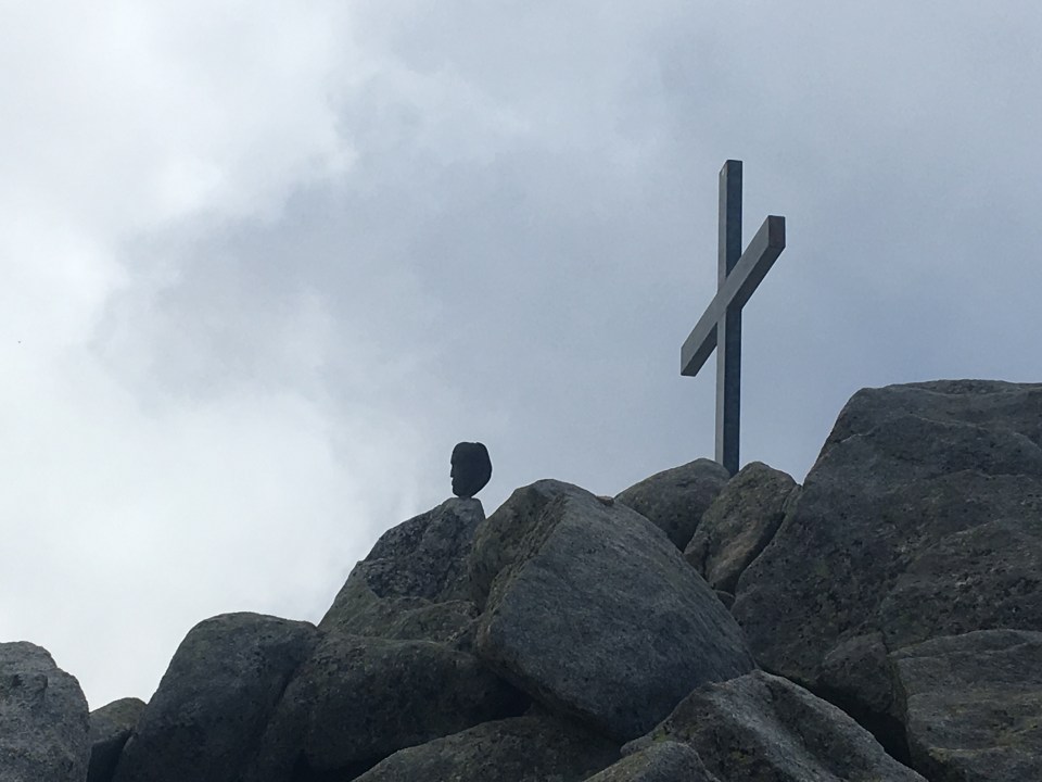
Mount Renosu summit
We had 360 degree views from Mount Renosu summit
Once past the outcrop we picked up the narrow path again and let the cairns lead us towards Mount Renosu. Eventually the cross at the summit came to a view and we made our dash for it through the open, gentle slopes terrain.
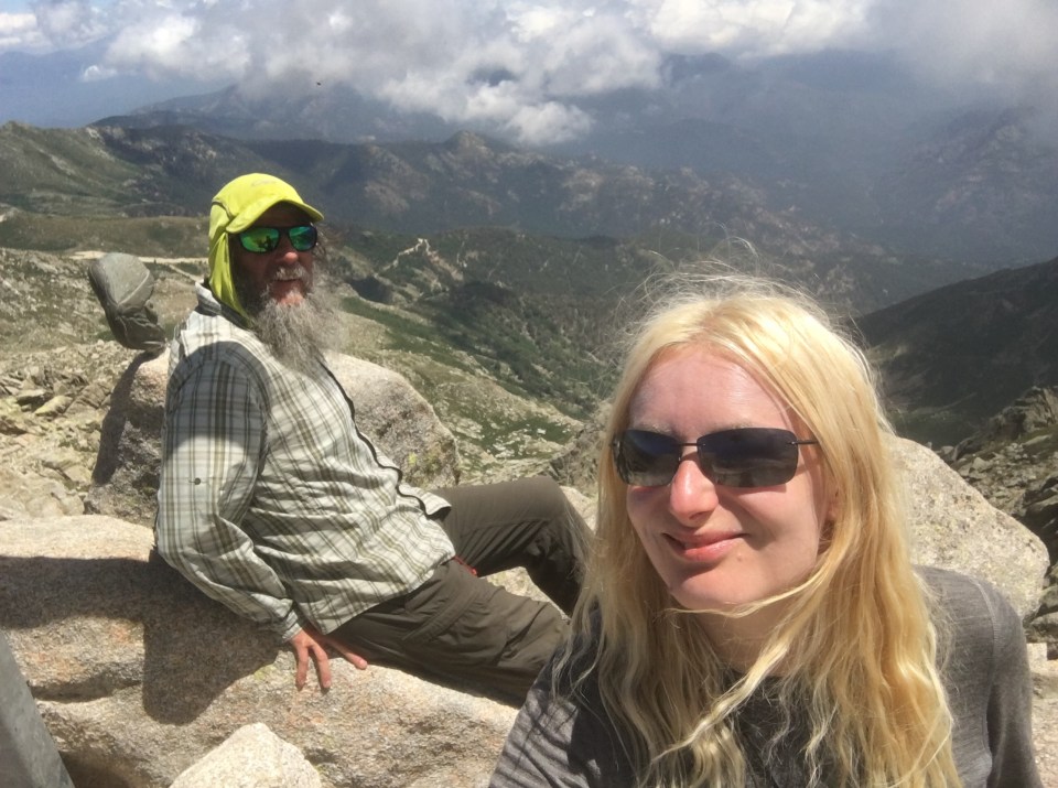
Summit of Mount Renosu from the descent route
Coming down from Mount Renosu proved to be a navigational challenge as well. There was a myriad of social trails in the summit area, and many cairns leading into three different directions. We followed the trail that run the top of the ridge and seemed most traveled. It eventually petered out and at that point we realized the main trail was bellow us, a mistake we easily corrected by making a quick descent to it through the open slope.
I can’t count how many times I stopped to take photographs. The basin was enchanting. Verdant greens mixed with the grays of the granite and a patches of snow still lingering at the higher level. There was a lake also, which from certain angles had the shape of a heart, and clouds that lifted from the valley and concealed the mountains behind us just to allow us a view few minutes later that added a layer of interestingness to my photographs.

Descending from the summit
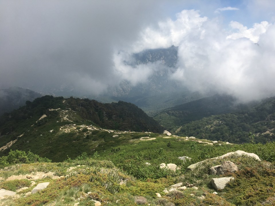
More views from our descent route
Bergeries d’E Campanelle was the busiest we came across so far. We arrived before 3:00 pm and the main camping area was already full to seams. So we found the very last flat spot in a meadow above the bergeries, and we were happy for that. A small tent city grew on the meadow, seven more tents, none of which would have the luxury of even ground to sleep on tonight.
We liked the place a lot. Many hikers merged here, some coming all the way from the north, some just starting, having finished their first day from the midway point and heading south, and few of course were northbound groups like us. We socialized with our fellow hikers well past hiker’s midnight (9:00 pm). Luckily tomorrow we have easier stage that will lead us to our mid point, and a rest day we decided to take at the mountain town Corte.