LOOWIT TRAIL – DAY 1 – JUNE LAKE TO TOUTLE RIVER
In the hills of the South Cascades Mt. St. Helens reigns over an amazing landscape of lush deep forests, verdant meadows, and streams gurgling down the valleys. The land is filled with the song of birds and breeze, that often whistles to the same tune, carries around sweet scent of wildflowers.
Closer to the volcano the terrain is less idyllic but even more monumental. Visitors from many parts of the world come to witness the scars left behind by the catastrophic eruption in May of 1980. The rugged beauty of the landscape is most often appreciated from Johnston Ridge observatory where large viewing deck and binoculars allow a look into the gaping crater and through the vast plains which surround it.
Variety of hikes exists to satisfy those who wish to experience the mountain up close and personal. The most advanced undoubtedly are the climb to the very top via Monitor Ridge (permit required) and a 3-day backpacking trip along the Loowit Trail which in approximately 30 miles circumnavigates the volcano’s base.
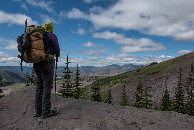
View towards the valley on West side of the mountain
RAMBLING & SCRAMBLING AROUND MT. ST. HELENS – LOOWIT TRAIL
Day 1 – June Lake to Toutle River
Dave and I chose to commence our loop around Mt. St. Helens at June Lake Trailhead on the South side of the mountain. Parking was limited and even at the wee morning hour the lot was already bursting at the seams.
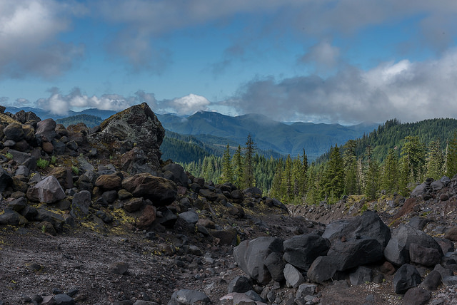
The first mile was an easy walk to June Lake, nearly flat, wide trail that led us along a singing stream and provided a snack of huckleberries. The grade steepened when we passed the lake, not relentlessly but enough to make our legs take a notice. Atop the hill we met Loowit Trail and started hiking it clockwise following narrow the path that meandered through boulder fields and open slopes. Our eyes could rest on views down to the valley, ridgelines stretching to the horizon, above us the mountain itself remained shrouded in a thick layer of clouds. Once every so often the trail dipped into the forest where the tread was more stable and allowed for faster travel.
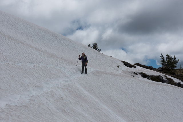
The last remaining snow field
For a long time the day had us traversing on a contour, encountering some rolling ups and downs but no major elevation chance. Our first significant dip came just before Sheep Canyon where the original trail got severely washed out and a detour took us approximately ½ mile down the hill where safer passage of the deep gully could be found. Our climbing skills came handy here as this safer route required us to made a 10-foot unaided vertical drop.
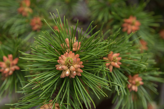
Fresh greens of early summer
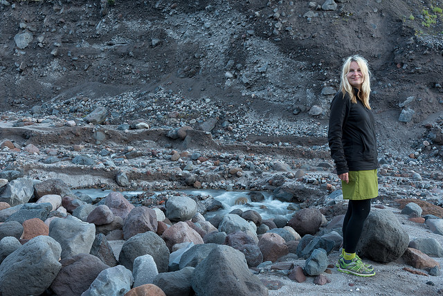
The second noteworthy descent lead us down to Toutle River where we planned to camp. Never a 1,500 ft drop felt so long. We hiked to the sound of the gushing river which sometimes was so loud I would have sweared the bottom must had been behind the next bend but I think what we heard at first was a smaller seasonal stream created by snow melt that was running somewhere underneath us. It took us forever to reach the lip of a gully through which Toutle River flowed. The descent to the river bed was steep but not nearly as vertical as the drop we had to make earlier and it was aided by a rope which I gladly used even though it did not seem completely necessary.
Our first ford awaited at the bottom. The river was not more than 5 feet wide but the current was swift and through the murky water it was not easy to judge the depth we were to brave. It ended up being easier than it seemed and even though the water reached up to our knees, the current never threatened to sweep us down the stream.

Getting ready to descend to Toutle River
Many possible campsites awaited on the river bed. Sandy patches, nicely flat and soft. The one we chose had a partial view towards St. Helen’s. The mountain was now out of clouds and until the night fell we could appreciate her majesty.
Distance: appr. 14 miles
Water Sources: June Lake, Toutle River (somewhat sultry but prefiltering through bandana solved the issue)

Crossing one of the many minor washouts
Beautifully sculptured landscape on West side of the mountain
Exploring Toutle River drainage